As if Florence wasn’t enough, Hurricane Michael set about its own ravishing path during the first part of October. The hurricane, gaining momentum from the warm ocean waters of the Gulf of Mexico, unleashed a category four fury on the Florida panhandle. Fortunately, Hurricane Michael was a quickly moving system, and the storm effects, though significant, had the potential to be much worse.
After pummeling through the Florida panhandle, Hurricane Michael took a northeast slant, coming into western Georgia, South Carolina, and North Carolina, ultimately reaching the Atlantic around the Chesapeake Bay area. After hitting the Gulf Coast, Michael devolved quickly, falling from a category four into a tropical storm within a span of about a day.
Many of the areas affected by Hurricane Florence earlier in September were spared by the effects of Michael; many of these areas are still desperately trying to recover from the flooding on account of Florence. Locally, there was not a lot of damage, especially considering what the potential could have been.
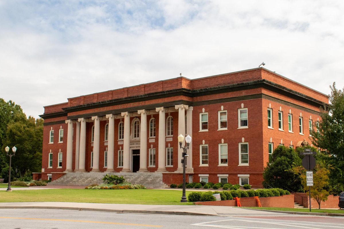
Clemson University was able to test the campus-wide warning system a few times, and students were advised to pay special attention to the weather during the time of Michael, but thankfully, the general area was missed.
Categories:
Hurricane Michael
October 15, 2018
0
Donate to The Tiger
Your donation will support the student journalists of Clemson University. Your contribution will allow us to purchase equipment and cover our annual website hosting costs.
More to Discover


